
Farming in Mizoram
Mizoram's steep slopes are moving from jhum to settled horticulture: bird's-eye chili, ginger and banana on terraces that are hard to inspect on foot.
What grows in Mizoram
How satellite advice works in Mizoram
Watch is free for any field in Mizoram. You need WhatsApp and your field's location; nothing is installed in the field.
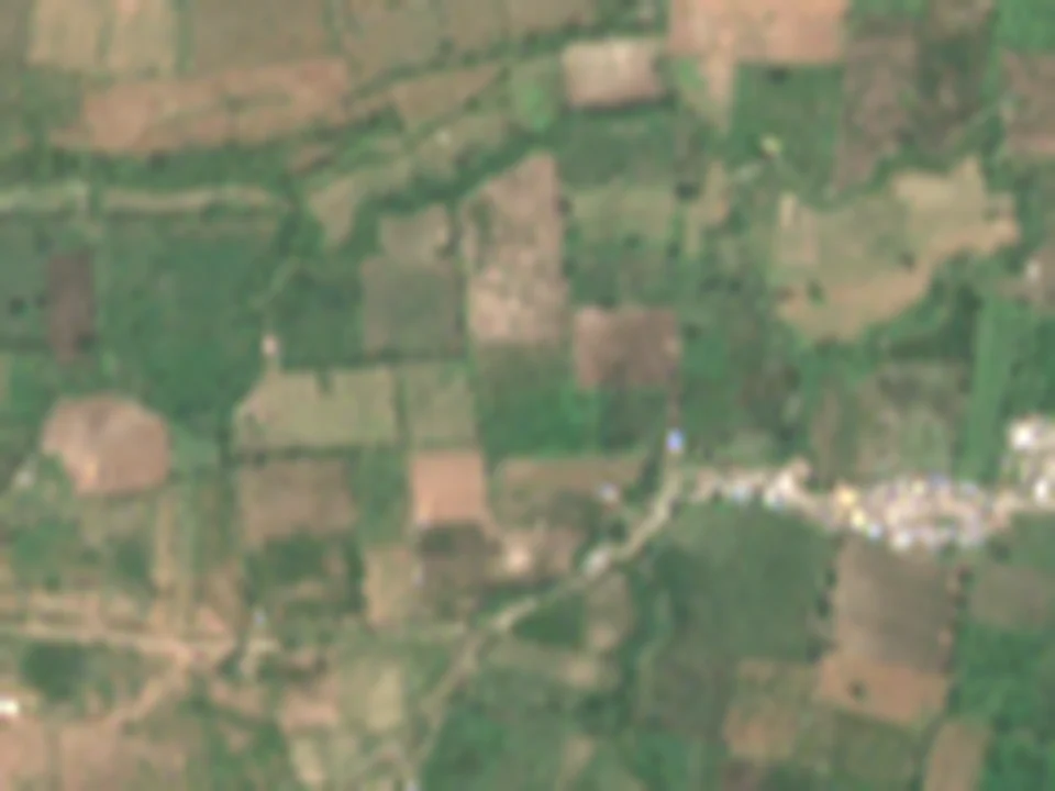
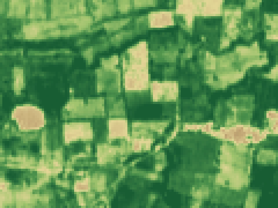 1.2 km × 0.9 km · each square 10 m
A real Sentinel-2 view of farmland near Katol, Maharashtra. The same 10 m view is available for any field in Mizoram.
Your own field
We read the Sentinel-2 pixels inside your field boundary and compare them with your field's own history, so the message is about your field, not your district.
Through the monsoon
When cloud hides the field for weeks, Sentinel-1 radar still shows standing water and the growth trend, and the message says what it could not see.
Water and weather timing
The village forecast and FAO-56 crop-water methods help time irrigation and field checks, week by week.
How each message is computed, and what the satellite cannot see: methods and evidence.
Farming in Mizoram: common questions
Which crops are grown most in Mizoram?
The main crops include Ginger, Chili, Banana. Each has a guide with its season, water need and main risks.
Does VarshaKrishi work in Mizoram?
Yes. The free Watch plan covers any field in Mizoram: one WhatsApp message a week about your own field, built from satellite images and the weather. You need WhatsApp and your field's location; nothing is installed in the field.
What does it cost?
Watch is free for every farmer in India. Decide, the crop-specific plan with irrigation timing, opens crop by crop after an agronomist reviews each crop model; farmers buy a season pass or a partner sponsors it.
What happens in the monsoon when clouds hide the field?
Sentinel-1 radar sees through cloud and still shows standing water and the growth trend. When the satellite cannot see your field clearly, the message says so instead of guessing.
Neighbouring states
Get a weekly message about your own field.
Free for any field in Mizoram, in Marathi, Hindi or English.