
Everything you need to write about VarshaKrishi.
Ready-to-use descriptions, verified facts, images and a short film. Everything here is free to use in coverage with a credit to VarshaKrishi and, for satellite images, the Copernicus credit shown with each one.
Copy any of these as written.
In one line
Weekly satellite crop advice for your own field, on WhatsApp, in Marathi, Hindi and English.
In one paragraph
VarshaKrishi sends Indian farmers one WhatsApp message a week about their own field: what changed, what to check and when to act. It is built from Sentinel-2, Sentinel-1 and NASA HLS satellite data and the weather. It is free for every farmer in India; crop-specific advice starts with Nagpur orange in Vidarbha.
In full
VarshaKrishi watches a farmer's own field from space and sends one clear WhatsApp message a week, in Marathi, Hindi or English: what changed, what to check, and when to act.
A farmer shares the field's location once. Every few days, Sentinel-2, Sentinel-1 radar and NASA HLS satellites photograph it. VarshaKrishi reads only the pixels inside that field, compares them with the field's own history and with the fields around it, adds the weather, and turns it into one short message that carries its date and source.
The Watch tier is free for every farmer in India. The Decide tier, with crop-specific advice and irrigation timing, starts with Nagpur orange in Vidarbha and grows crop by crop. Processors, drip and input companies, FPOs, CSR foundations and government programmes can sponsor a season for the farmers they work with. Sponsors never see or edit a message, and farmer data is never sold.
Verified facts, with where each one comes from.
- Company
- VarshaKrishi Udhyog Private Limited (CIN U01113UW2026PTC250001), DPIIT-recognised startup (DIPP255998)
- Based in
- Nagpur, Maharashtra
- Founder
- Tanmay Sahare, EiR Fellow, 5G/6G Centre of Excellence, FIRST, IIT Kanpur; B.Tech Aerospace Engineering student, IIT Kanpur
- What it does
- One WhatsApp message a week per field, built from satellite data and the weather, in Marathi, Hindi or English
- Satellite data
- Sentinel-2 (ESA Copernicus, 10 m), Sentinel-1 radar, NASA HLS (Landsat and Sentinel-2 harmonised)
- Field scale
- One Sentinel-2 pixel is 10 m by 10 m. The 3.2-acre field in our open data near Katol is 129 pixels.
- What a monsoon looks like
- Over that field from 17 Aug to 12 Oct 2026: 15 Sentinel-2 passes, 5 clear views (field-level cloud mask). Data
- A real signal
- On 20 May 2026 the field's greenness fell 38% in ten days, against 22% for the fields around it. Data
- Price for farmers
- Watch is free; sponsored seasons are paid by partners
- Status
- Building and testing the advisory engine on Vidarbha crops before the first season
Download and use.
Satellite images must carry the credit: "Contains modified Copernicus Sentinel-2 data 2026, processed by VarshaKrishi".
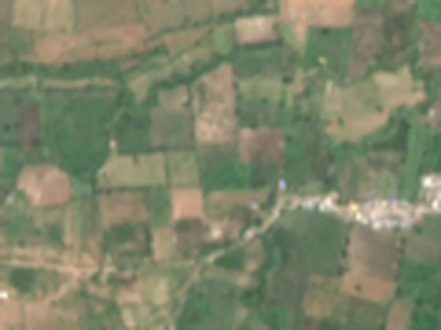
Farmland near Katol, true colour, 12 Oct 2026 (1.2 km across)
Download JPG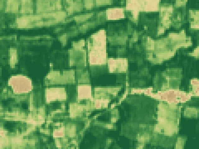
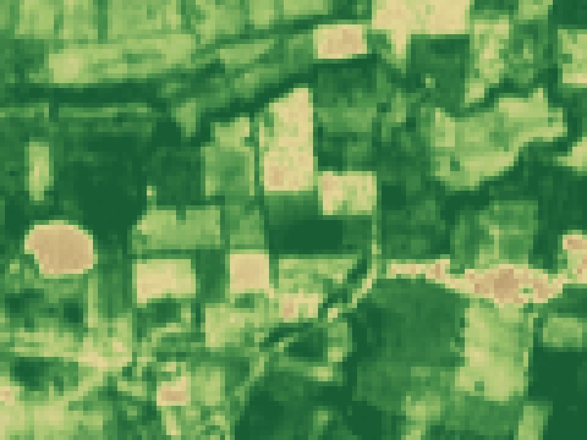
The same area as greenness (NDVI)
Download JPG
One field up close: each square is 10 m
Download JPG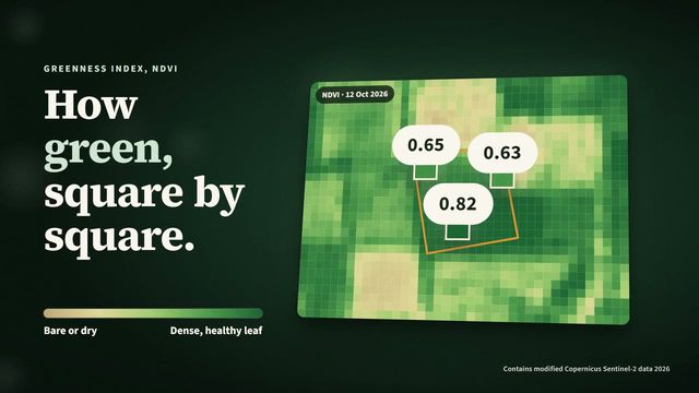
Explainer film, 58 s, narrated (narration voice is AI-generated)
Download MP4
Tanmay Sahare, founder
Download JPG
Logo
SVG PNG


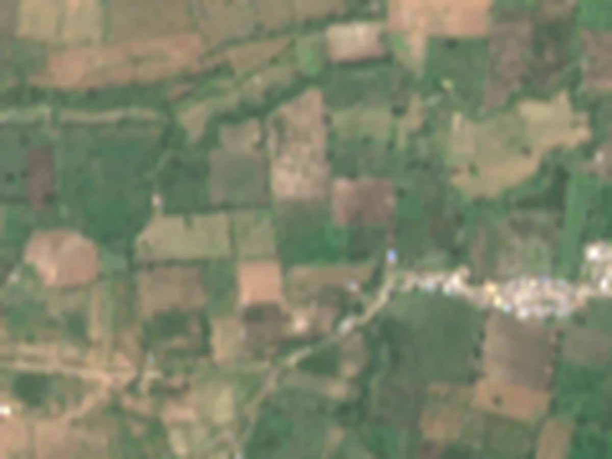



What the satellite data shows.
- A field drying in the May heat. On one Katol field, greenness fell 38% between 10 and 20 May 2026, against 22% for the fields around it. That is the kind of change a weekly message is meant to catch.
- The monsoon blind spot. In eight monsoon weeks, the satellite had a clear view of that field on only 5 of 15 passes. Why radar and honest "no clear view this week" messages matter.
- Free satellite data, in Marathi. European and NASA satellites photograph every Indian field every few days for free. The question is how that reaches a farmer, in their language, on the phone they already have.
Press contact
- Phone
- +91 86688 40167
- How to credit
- VarshaKrishi (www.varshakrishi.com). For data: "VarshaKrishi open data, www.varshakrishi.com/open-data".