
Field data you can publish, with provenance on every value.
For agricultural universities, ICAR institutes, KVKs, science councils and state departments: instrumented reference plots, the satellite record for the same plots, and exports with a source and a date on every number.
What a reference-plot contract includes.
Named plots
One or more plots on your station or a cooperating farmer's field, with boundary, crop, sowing date and management notes recorded at the start.
Reference kit, installed
A soil-moisture and micro-climate kit specified for your protocol, procured from an established vendor, installed and configured by us.
Satellite record for the same plots
Sentinel-2, NASA HLS and Sentinel-1 indices for each plot on every pass, with cloud fraction and valid-pixel counts, ready to compare with the kit.
Weekly advisories
The plot owner receives the same weekly WhatsApp message farmers receive, so your team sees exactly what a farmer would see.
Exports and replay
CSV and JSON exports with source, observation time, processing version and a tamper-evident record id for every value.
Calibration metadata
Kit make and model, calibration date and method, installation depth and maintenance log, written for the methods section of a paper.
Every plot, every pass, at 10 m.
A real Sentinel-2 view of farmland near Katol. On a reference-plot contract, each plot's indices are stored for every pass, with cloud fraction and valid-pixel counts, next to the kit's readings.
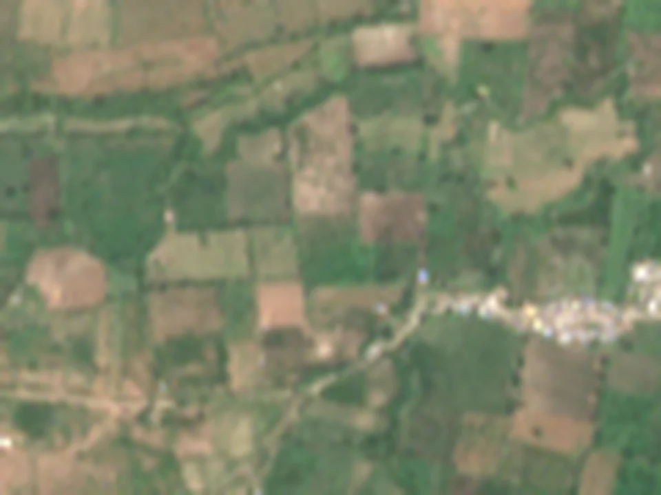
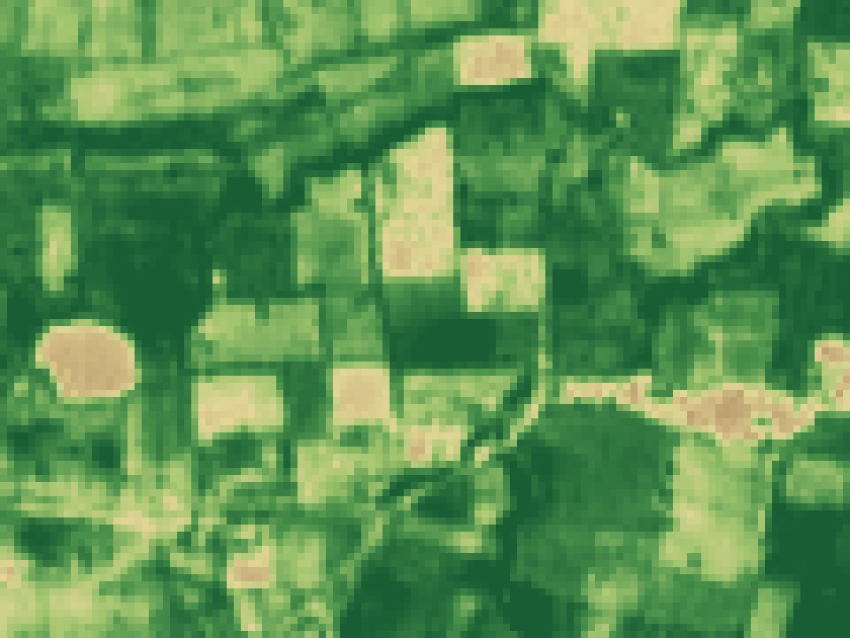 1.2 km × 0.9 km · each square 10 m
From a satellite pass to a value you can publish.
- scene_idSatellite passSentinel-2 L2A, HLS or Sentinel-1 scene, identified by its public scene id.
- valid_pixelsClean pixels onlyCloud and shadow are masked; the count of clean pixels inside the plot is stored.
- ndvi, ndwiIndices per plotComputed with the cited formulas over the clean pixels, with the processing version.
- kit_readingKit readings beside itSoil moisture and weather from the reference kit, with calibration metadata.
- chain_idSealed recordAppended to the plot's tamper-evident chain; the replay check recomputes it.
Every value can be traced and recomputed.
Each derived value is stored with the identifiers of its raw inputs, so anyone can fetch the public satellite scenes and check our numbers.
Standards used for each computation are in the citations registry; known limits are in the limitations register.
| Field in every export | Meaning |
|---|---|
| source | Sentinel-2 L2A, NASA HLS, Sentinel-1 GRD, weather provider, or the reference kit |
| observed_at | When the pass or reading was observed, not when it was processed |
| processing_version | Version of the code that produced the value |
| valid_pixels, cloud_fraction | How much of the plot the satellite actually saw |
| chain_id | Tamper-evident record id; the replay check recomputes it |
Easy to buy through your normal route.
DPIIT-recognised startup
Registration DIPP255998. Recognised startups are eligible for public-procurement relaxations on prior experience and turnover; your procurement cell can confirm the rule that applies.
Direct procurement
We quote through your institution's direct procurement route and supply vendor documents on request. A GeM seller listing is being set up.
Quotation structure
One-time: plot survey, kit procurement and installation, configuration. Per season: data processing, weekly advisories, exports and maintenance visits. Optional: an outcome study written up with your scientists.
Documents on request
Certificate of incorporation, DPIIT certificate, PAN, GSTIN (27AALCV9669E1ZL), bank details, a draft MoU, the privacy notice and data-processing terms.
Questions institutions ask
What is an instrumented reference plot?
A named plot on your station or a cooperating farmer's field where a soil-moisture and weather kit is installed and its readings are stored next to the satellite record for the same plot, so the two can be compared and the satellite model calibrated. We specify, procure, install and configure the kit under the contract.
Can we publish from the data?
Yes. Exports carry provenance for every value: source, observation time, processing version and a tamper-evident record id. The methods page lists the standards and the limitations register to cite alongside.
Is VarshaKrishi on GeM?
A GeM seller listing is being set up. Until it is live we quote through your institution's direct procurement route. VarshaKrishi is a DPIIT-recognised startup (DIPP255998), which qualifies for the startup relaxations in public procurement.
Can we work under an MoU instead of a purchase order?
Yes. For a validation partnership we can run a smaller set of plots at our own cost in exchange for scientific review and a data-sharing agreement. A draft MoU is available on request.
Tell us what you want to measure.
The crop, the number of plots, the season and what you plan to publish. A written proposal follows within 2 working days.
Or email contact@varshakrishi.com · Book a 20-minute call